
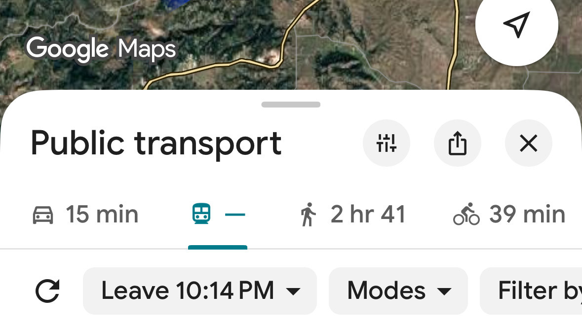
RAPID CITY, S.D. – Rapid Transit System officials announced that RapidRide routes have been integrated into Google Maps, providing a new digital resource for commuters in Rapid City.
The update allows residents and visitors to use the Google Maps interface to identify the most efficient transit paths for their specific destinations. By inputting a starting point and a destination, users can view real-time route options and schedules.
This is a great feature to allow RTS users to check out the most convenient routes if they are wishing to go to specific locations in the community, said RTS Manager Megan Gould. It is another tool for our public transit users to check out when planning a one-stop visit or perhaps a daily trip to get to work or school.
Beyond the new Google Maps integration, Gould noted that system maps remain available at the official Rapid Transit System website. The online portal provides comprehensive details including hours of operation, fare structures, and specific arrival and departure times for the city’s six fixed-route loops.
The transition to digital mapping is part of an ongoing effort to improve accessibility for public transportation users across the region. For more information regarding routes and services, residents can contact Rapid Transit System at 605-394-6631 or visit rapidtransitsystem.org.


