
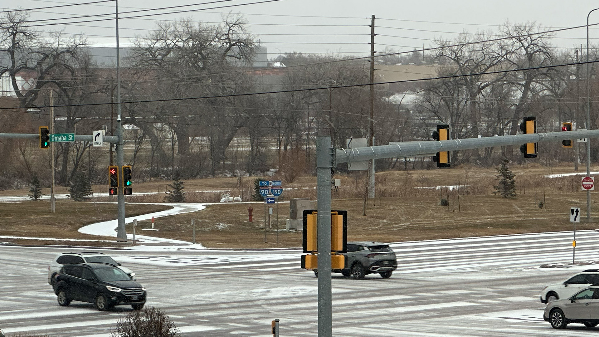
RAPID CITY, S.D. – Light snow and plunging temperatures are impacting travel and outdoor activities across the Rapid City area today.
According to the National Weather Service, light snow is falling across much of western South Dakota and northeastern Wyoming this morning. Forecasters expect the precipitation to continue throughout the day, resulting in total accumulations of 1 to 3 inches. The snowfall will focus mainly on the Black Hills, northeastern Wyoming, and parts of western South Dakota.
Travelers are advised to exercise caution on roadways this morning as conditions vary.
Another round of winter weather is expected to move through the region tonight. This second system will primarily affect northwestern South Dakota, where additional snow accumulations of 2 to 4 inches are likely. A Winter Weather Advisory has been issued for that area, lasting from overnight tonight into early Saturday morning.
In addition to the snow, a cold front is bringing much lower temperatures to the region. Colder air will persist from today through Saturday, creating dangerous wind chills below zero for many areas across western South Dakota.


